SOUTH RIVER WATER TRAIL
Creating recreational ACCESS ALONG THE RIVER
The South River Water Trail (SRWT) is a system of public access trailheads along the river that include boat/kayak ramps, parking, and other amenities. Some trailheads are complete, in development or slated for development. The SRWT is an on-going regional effort to increase recreational access along 40 navigable miles of the river – from Panola Shoals to Jackson Lake.
GEORGIA RIVER GUIDE APP
Want more in-depth water trail attributes? Download the Georgia River Guide mobile app created by Georgia River Network. It's free on the App Store and Google Play. Once downloaded, search for the “South River Water Trail” and save it to your favorites for easy access!
Note: Some trailheads are in development. As the water trail progresses, we are working with partners to establish consistency of information. Please contact us with any questions.
Recreation IS ADVOCACY:
WE MUST use it to improve it
“In Georgia, it’s use it or lose it. You have to use the river to show the EPD that there is a public connection to water quality.”
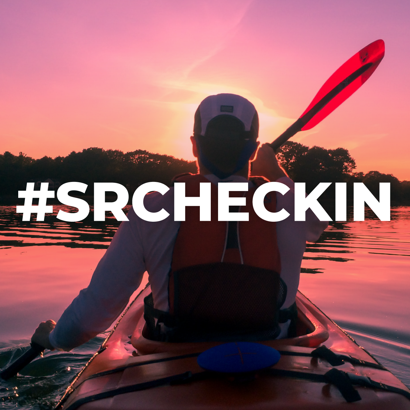
CHECK-IN: MEASURING RECREATIONAL USE
In 2022, we made history when 13 miles of the South River (from Lake Jackson to Honey Creek) were upgraded from “Fishing” to “Recreation” by Georgia EPD.
In 2025, the entire 40-mile length of the South River Water Trail was upgraded to Recreation.
Recreational designation assigns higher water quality standards to the river—standards to be enforced by Georgia EPD. It’s a critical step towards restoration.
Help upgrade the last 20 miles of the South River! CHECK-IN every time you visit the river and its tributaries.
Above map displays the developing South River Water Trail, a 40-mile section of the river.
CHECK-IN every time you visit the river or a tributary to help increase environmental protections!
MORE TO EXPLORE: TRAILS, PARKS & SIGHT-SEEING
See the South River watershed without getting wet! In Atlanta, the Southtowne Trail (PATH Foundation) follows the river through South Bend Park to Swann Nature Preserve and Browns Mill Golf Course.
In DeKalb and Rockdale Counties, the South River Trail follows the river for miles and will eventually become a pedestrian corridor connecting Atlanta to the 2,000+ acre Monastary of the Holy Spirit in Conyers.
At Intrenchment Creek Park, the South River Trail winds through urban forest along Intrenchment Creek. Further east, the trail ties into extensive trail networks in the Arabia Mountain National Heritage Area, Panola Mountain State Park, Rockdale River Trail, and more.
Remember to CHECK-IN when you visit!

The South River Trail at Intrenchment Creek Park
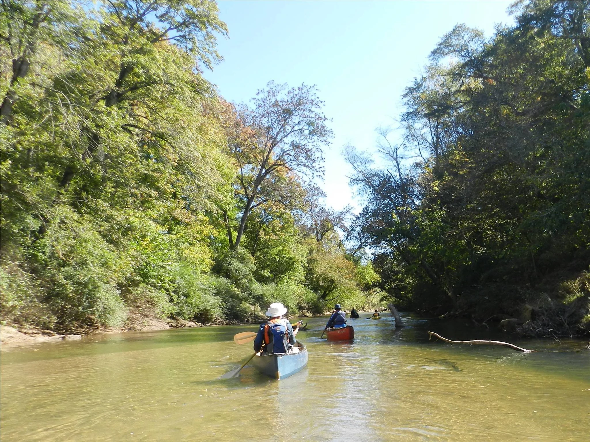
RECREATION WITH SRWA
SRWA hosts guided paddles and other events on the South River all year round. From spring through fall we take groups along on two different ~6.5 mile stretches of the SRWT. Both trips are beginner and kid-friendly.
Sign up for emails to stay in the know about upcoming events!
SRWA Paddle: Panola Shoals (1) to Klondike Rd./Everett Property (2)
SRWA Paddle: Lorraine Park (3) to Oglesby Bridge Rd. (4)

Support SRWA.